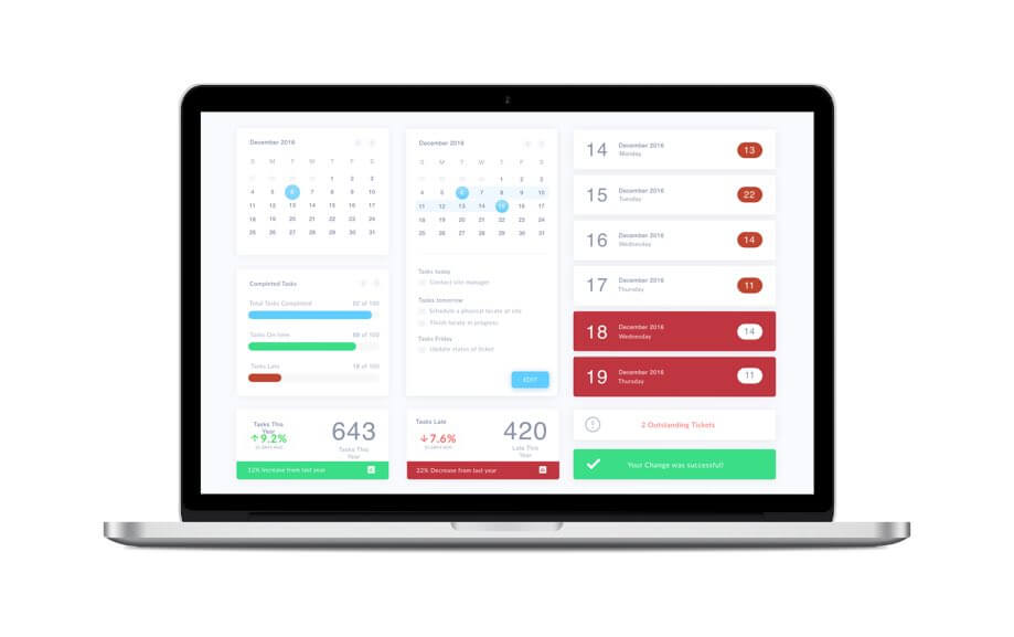
Overview of Clearing Software
Notify Excavators
Notify excavators via phone and email, giving the go-ahead for work or indicating that a locate is required before any ground disturbance.
Monthly Reports
Monthly reports are generated outlining the number of tickets cleared vs. not cleared.
File Integration
Integrate all standard data formats, including ESRI Shape files, AutoCAD drawing files (DXF / DWG) and simple scanned JPEG / TIFF files.

Cross-Compatibility
Locate tickets flow from the clearing center to the "Locatorbase" ticket management portal, and the two software systems work together ensuring that tickets are not sent for locate prior to being screened by the clearing process.
Reviewing
All locate notices that pass through the system are then reviewed by a trained locate technician.
Comparison
Comparisons of the locate area to any surrounding utility infrastructure is done through the software.
About Clearing Software
The clearing process is a multi-staged process, starting with the integration of utility maps and infrastructure data into proprietary clearing center software. CLI is able to integrate all standard data formats, including ESRI Shape files, AutoCAD drawing files (DXF/DWG) and simple scanned JPEG/TIFF files. A programmed comparison of the locate area to any surrounding utility infrastructure is done through the software.
This comparison is bound to a “buffer zone”, and parameters for this zone can be adjusted based on recommendations or requirements of the utility client. A clearing technician makes an assessment, which may include notifying the excavation contractor, to determine whether a physical site locate is required. This multi-staged process maintains a high standard of safety by eliminating potential utility damages caused by inaccurately cleared locate requests while at the same time maximizes the efficiency of the clearing process.


