

Dedicated Customer Teams & Agile Locating Services
Download
CLI & Municipal Services
CLI has partnered with INTUS Municipal Services (IMS), and are pleased to offer services and solutions for municipalities. Each service has been carefully developed to ensure that municipalities have efficient and cost effective options when it comes to infrastructure. By working closely with IMS, CLI is able to help ensure the safety of all types of municipal infrastructure assets.
About IMS
INTUS Municipal Services INC (”IMS”), is an applied technologies Systems and Services provider. IMS services municipal infrastructure (Street Lights, Water and Sewer) and municipal utilities (Gas and Hydro), by using high-efficiency technologies and systems.
Along with all core services and add-on services, CLI & IMS offer the following:
CLI & IMS provides municipalities with a plethora of asset management opportunities. CLI & IMS offers: Inventory Management, HR Management, Municipal Work Order Management, Mobile Fleet Management, Infrastructure Asset Management, Waste Management, Clearing Center (Permitting), Web-GIS, and Emergency Response.
Municipalities are able utilize CLI & IMS’ Multi-use Geospatial Sensor Management System. This system is called ‘Phosphorus’ and has a wide usability for municipalities. Each remote sensor can be integrated into a GIS platform allowing for expedited repairs and constant asset management.
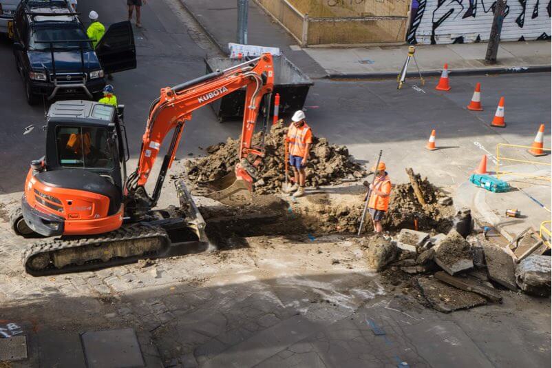
Sewer Safety Inspections (SSI) are offered to municipal clients who need help with sewer mapping and/or investigations. CLI & IMS offers sewer, manhole video inspections, and cross-bore sewer safety inspection through laterals. INTUS has the capacity to map sewer lines via inertia navigation.
CLI & IMS provides municipalities the opportunity to map and manage all street light assets. Through our GPS mapping services, CLI & IMS are able to present municipal infrastructure on GIS. This allows for fast tracked asset management and maintenance.
CLI can electronically map all necessary geographical elements. Using state of the art GNSS receives to provide clients with crystal clear maps that are highly accurate and accessible.
Through the use of proprietary Web-GIS, CLI has the capacity to integrate all types of locate data, as-built information and electronic maps so that clients can have 24/7 accesses to all geospatial data. For clients with smaller IT departments and limited resources, CLI can also host all this data through their partnered network.
Once locating and mapping have been completed, CLI can use all geospatial data collected to design an interactive 3D rendering of a project. This is useful for proper visualization of conflict points, network direction and placement.
CLI has the ability to Inspect sites that have been previously damaged a technician can create a digital image of what has occurred and add it to the locate ticket.
Why Choose CLI?
Canadian Locators provides all types of utility locating services, using state of the art ground penetrating radar and electromagnetic sensors to provide clients with professionally accurate readings and utility maps. Whenever digging is to commence, CLI will ensure that locating staff are well equipped and prepared to take on any type of locating job regardless of size. All data that is collected is then professionally mapped and can be used during the permitting process.
CLI has been providing locating services all around Canada since 2001, and is recognized as a true industry leader in the field. All locating information in collected with extreme accuracy and speed, ensuring that each project can carry on as scheduled.
Experience
Accuracy
Highly Professional Staff
Mapping
CLI Total Locates 2014-2017

Providing Innovative and Professional Locating Solutions
As a diversified utility locating firm and a pioneer of cutting edge technologies, CLI is constantly evolving to provide the best client experience. CLI is one of the most awarded and well-recognized locating firms in Canada and is continually working on being the best.
Efficient
Locating
Cutting-Edge
Technologies
Cost-Saving
Processes